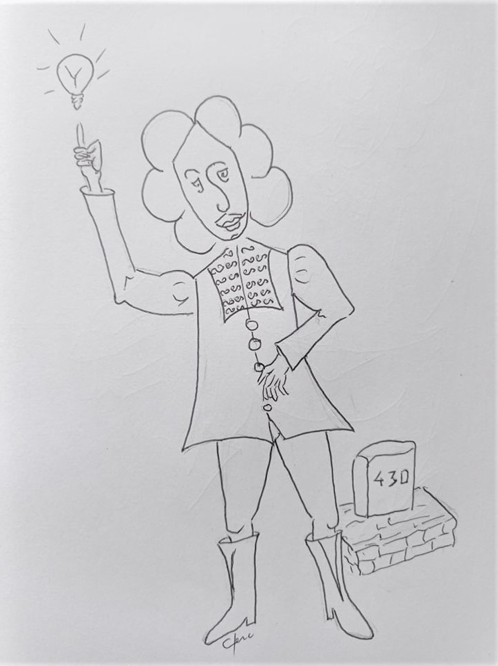
Yes, yes, I admit … While remaining modest, I had 2 brilliant ideas!
First, I found the highest point in the canal, 189m above sea level: the Seuil de Naurouze. Great place because by digging a huge basin, you can collect all the water from the many streams that descend from the Black Mountain (Montagne Noire) 
… From there, all we have to do is fill in the part of the canal that goes to the Atlantic coast, and the part that goes down to the Mediterranean: This is the watershed !
The second idea is to find a route by following the most constant level lines possible in order to have very few locks. Moreover, where we are, Paraza, is located on the longest reach of the canal: a reach is part of the canal between 2 locks … well, from the simple lock of Argens (a village 4km from here) at the eightfold lock of Fonsérannes in Béziers we have 54km  !!! And the altitude of the canal is maintained there at 31.35 meters
Fortunately, the Sun King, LOUIS XIV  ,
,
wrote this edict of 1679 which allows any expropriation and demolitions which would be harmful to the alignment of the canal in the name of “the good of the public” and therefore to constitute a new fief which will be marked with survey markers!
So yes! … while stubbornly following the level lines, I encountered 2 big problems on Paraza! … But first, let’s start with finding this famous marking demarcation …
![]()

